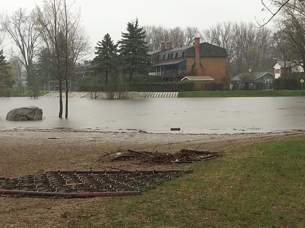
Flooding in Britannia, 2017. Creative Commons photo by Ross Dunn.
Once again, flooding is threatening many waterfront areas in Ottawa, Eastern Ontario, Gatineau, the Outaouais and West Quebec. Here’s where to go for information on road closures, details on where you can volunteer to fill sandbags, and more.
Ottawa
The City of Ottawa has a detailed flooding information page. Here are some of the highlights.
- There’s an interactive traffic map that shows you what road are closed. Click the “Incidents” box on the left-hand side of the map to see road closures.
- The city is seeking volunteers to fill sandbags between 3pm and 7pm from Tuesday, April 23, until Friday, April 26.
Ottawa Public Health has advice on ways to cope before, during and after a flood.
Here are the latest Ottawa Citizen stories about the crisis.
Gatineau and the Outaouais
The City of Gatineau also has extensive flooding information on its website. Important details include the following:
- what to do if your area is under a flood alert
- what to do if you are ordered to evacuate the area
- where to get sandbags
If you are looking for information on flooding to the northwest of Gatineau, here is the latest news from the Municipality of Pontiac.
Eastern Ontario

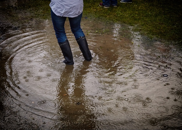
Photo by Vidar Nordii-Matheson on Unsplash.
Check the following sites for the latest warnings and advisories about water levels—not only for the rivers they administer, but for other major rivers in the area. If you’re not sure which organization governs the area you are seeking information about, use Conservation Ontario’s map to find the right one.
- Ottawa River Regulation Planning Board
- Rideau Valley Conservation Authority
- Mississippi Valley Conservation Authority
- South Nation Conservation Authority
- Raisin Region Conservation Authority
- Cataraqui Region Conservation Authority
- Quinte Conservation
Here is recent flooding news from Laurentian Valley and Madawaska Valley.
Lanark County is sharing information on its Facebook page, as is the Township of North Frontenac.
Quebec (province)
Here is the Province of Quebec’s flood information page, including tips for handling an emergency. You can also see information on high-water alerts across the province (French only).
In Montreal, the Gazette has a page dedicated to flooding news from across the province.
The bottom line

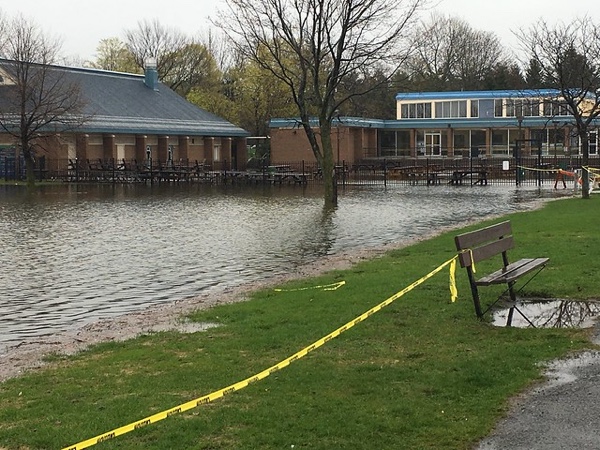
Lakeside Gardens in Ottawa in spring 2017. Creative Commons photo by Ross Dunn.
Please check warnings in advance before embarking on any road trips in our region this weekend. Stay safe, everyone.
If you have found a useful source of local flooding news that I haven’t mentioned here, please let me know in the comments and I’ll add it. Thanks.

1 comment
[…] before heading out to make sure it hasn’t been moved or postponed due to flooding. Check my flood post for links to local municipalities’ flood information pages, most of which also include […]