Looking for a short but challenging hike with a great payoff? Look no further than Trail 1 at Parc régional du Mont-Morissette, high in the Gatineau Hills of Quebec.
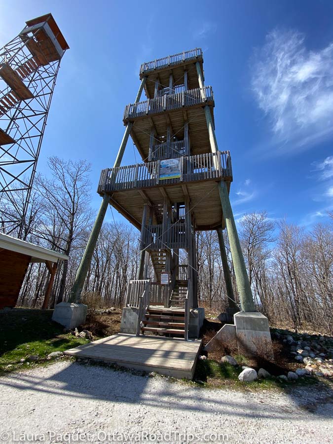
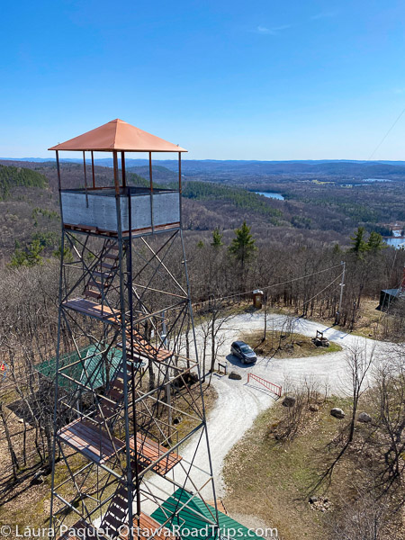
The big attraction at this free park in the Vallée-de-la-Gatineau region of the Outaouais is the 18-metre-high observation tower. It was built in 2014 right next to an abandoned 1930s fire observation tower, which had become an unsafe temptation to hikers. Once you reach it, it gives you a spectacular view (more on that shortly).
Where is Parc régional du Mont-Morissette?
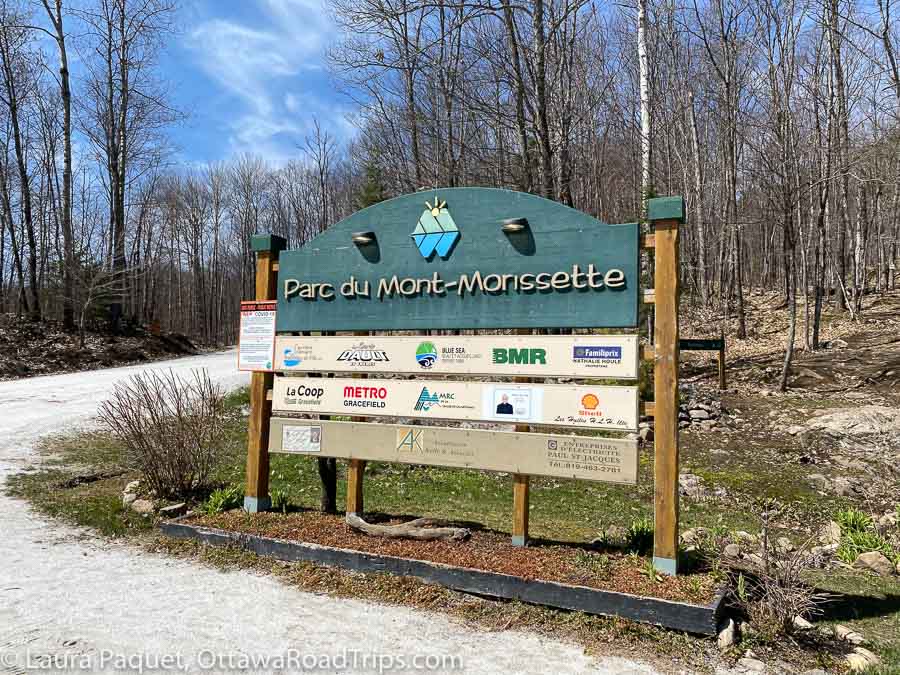
Parc régional du Mont-Morissette (35 chemin du Lac Long, Blue Sea) is 113 kilometres north of Parliament Hill and about six kilometres northwest of Blue Sea. You’ll follow highways 5 and 105 north for most of the trip, but the last 20 kilometres will require a few turns down small roads, so a GPS or map app will come in handy.
In fact, I’d advise mapping the route on your home computer and printing it out before leaving home, because cell service is spotty in the park. I picked up a faint signal on the summit, but not a peep in the parking lot, so a paper backup would be handy.
Note that the parking lot for the tower is on the right-hand side of the road when you’re approaching the park from Blue Sea, no matter what your map app tells you.
The map below will help you get your bearings—and find nearby accommodation, if you’re so inclined. (Disclosure: This is an affiliate link, meaning I’ll earn a small commission—at no extra cost to you—if you book somewhere to stay using this map.)
Reaching the summit by road or trail
So how do you reach the Mont Morissette observation tower? There’s the easy way, the somewhat easy way and the more energetic way.
The easy way is to drive up Chemin de la Tour, a roughly one-kilometre road you can pick up on the western edge of the parking lot.
Surfaced in startlingly white gravel mined in a nearby quarry, it will take you to the summit of Mont Morissette in a couple of minutes. It’s a bit steep in spots, so if you attempt this route in winter, you’ll probably want an SUV and/or four-wheel drive vehicle.
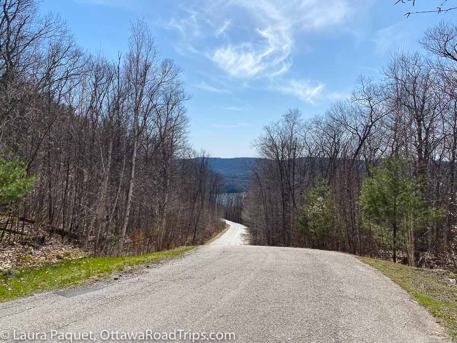
The somewhat easy way is to walk up the road.
And the more energetic way is to hike Trail 1. There’s a good map of all of the park’s trails at the trailhead, which opens directly into the parking lot.
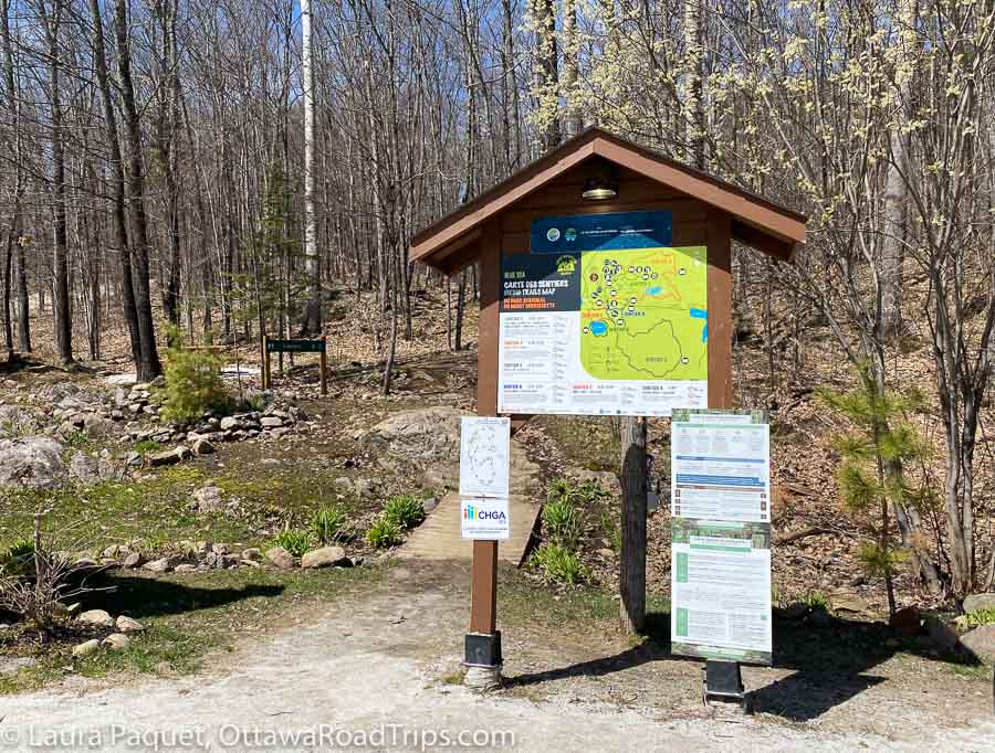
It’s about a kilometre to the tower, which the trail map notes takes about half an hour one way. (You come back the same way you went up.)
“Half an hour?” I thought. “Heck, I can walk a kilometre on Bank Street in about 10 minutes.”
Mont Morissette is not Bank Street, as I became keenly aware about a minute after leaving the parking lot.
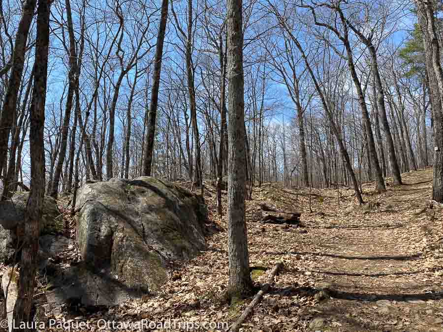
My first clue should have been the word “Mont” in the name. While not quite Mount Everest, it’s a serious hill with a 176-metre elevation gain, and I was glad I’d worn hiking boots (although I spotted lots of people in running shoes).
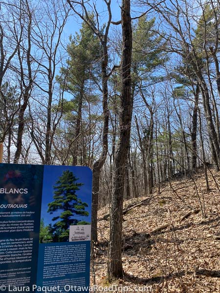
The trail passes through stands of white pine. A handy interpretive sign on the trail informs visitors that these trees can grow up to 30 metres high and a metre in diameter, and live for 200 years or more. White pine trees used to be abundant across eastern North America, but European navies discovered that the wood made dandy masts and spars for ships. That was bad news for the white pine, which was logged extensively in the centuries after said Europeans arrived. Today, the Outaouais is home to some of the largest remaining white pine forests in Quebec.
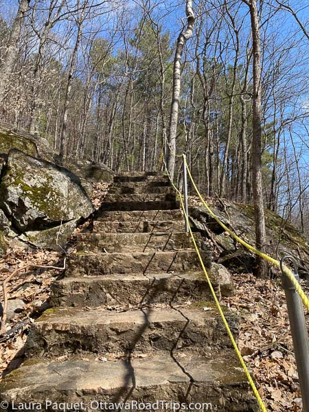
Huffing and puffing up a set of stone stairs, and over some terrain studded with tree roots and rocks, I did make the trip in the estimated 30 minutes. If you’re not a somewhat out-of-shape 50-something, you may make better time.
Just before you get to the top, you’ll cross Chemin de la Tour, so watch out for cars. The intersection is well marked.
The view from the top of Mont Morissette
Once I reached the summit of Mont Morissette, I caught my breath before tackling the observation tower’s 100 shallow stairs.
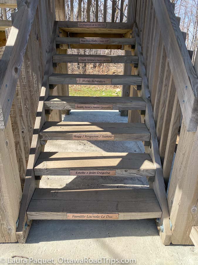
When you reach the top of the observation tower, you’ll understand why the vintage fire structure next to it encouraged people to take crazy risks. The view is spectacular. It’s hard to believe you’re just an hour and a half north of downtown Ottawa. Aside from the village of Blue Sea, a few cottages and farms, and the odd road, the view consists almost entirely of glittering lakes and vast swaths of trees.

When I reached the spacious platform at the top, I spent a good 20 minutes soaking up the 360-degree view, and chatting with two young families who had made the trip just behind me. One of the moms kindly took the photo below.
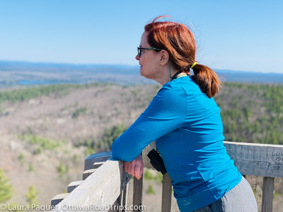
With stands of maple and birch stretching in every direction, the vista would be even more beautiful in fall, we agreed. (I did this hike in mid-spring, when most of the deciduous trees were still bare.)
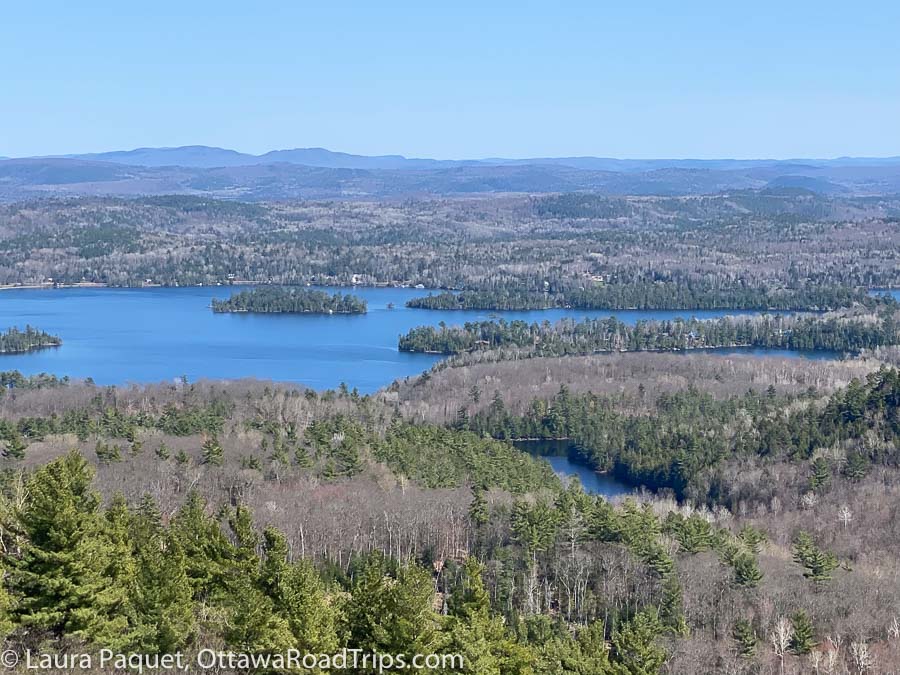
If you squint or bring binoculars, you might be able to glimpse the town of Maniwaki, roughly 20 kilometres to the northeast. However, I suspect you’ll prefer to follow my lead and train your binoculars on the hawks that often glide high above the 400-metre summit of Mont Morissette.
Eventually, it was time to contemplate the trip back. I spared a moment’s thought for the effect the downhill trail would have on my knees…and took the road.
If you go
Trail 1 is one of six trails in the 589-hectare park. If you’re looking for more of a challenge, Trail 3 (which I didn’t try) is a 5.5-kilometre loop through thick forest with a 266-metre elevation gain.
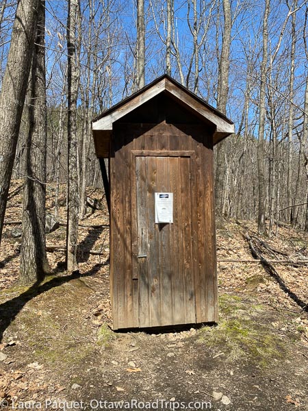
There are outhouses at the trailhead and below the observation tower (but no ramps). Leashed dogs are welcome on the trails.
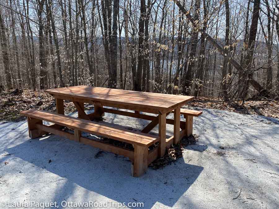
You’ll find a picnic table partway up chemin de la Tour and a picnic shelter at the summit. The shelter would be useful in the rain but isn’t terribly scenic. Try to nab the table along the road if you can, as it has the prettier view.
The park is open year round, and admission and parking are free. For more information, see the Parc régional du Mont-Morissette website.
Do you love to hike? Check out my big guide to local hikes and walks, or my post about an easy day hike at Morris Island Conservation Area in Fitzroy Harbour.
Looking for more tips on things to see and do in Eastern Ontario, the Outaouais, northern New York state and beyond? Subscribe to my free weekly newsletter or order a copy of my book, Ottawa Road Trips: Your Weekend Getaway Guide.
As the owner of Ottawa Road Trips, I acknowledge that I live on, work in and travel through the unceded, unsurrendered territory of the Algonquin Anishinaabeg Nation. I am grateful to have the opportunity to be present on this land. Ottawa Road Trips supports Water First, a non-profit organization that helps address water challenges in Indigenous communities in Canada through education, training and meaningful collaboration.

1 comment
[…] Mont Morissette, Blue Sea, Quebec (cool lookout tower, bit of a steep grade in parts) […]